
The FlexiMaps are a computer-based system devised and drafted by Barbara and Graham Wright, as an extension of a manual mapping idea developed by Barbara Wright. They aim to present maps with a professional appearance that illustrate selected details. Based on numerous sources, they delineate early fourteenth-century boundaries as far as possible, and permit the addition of various features as standard and other material as required and available.
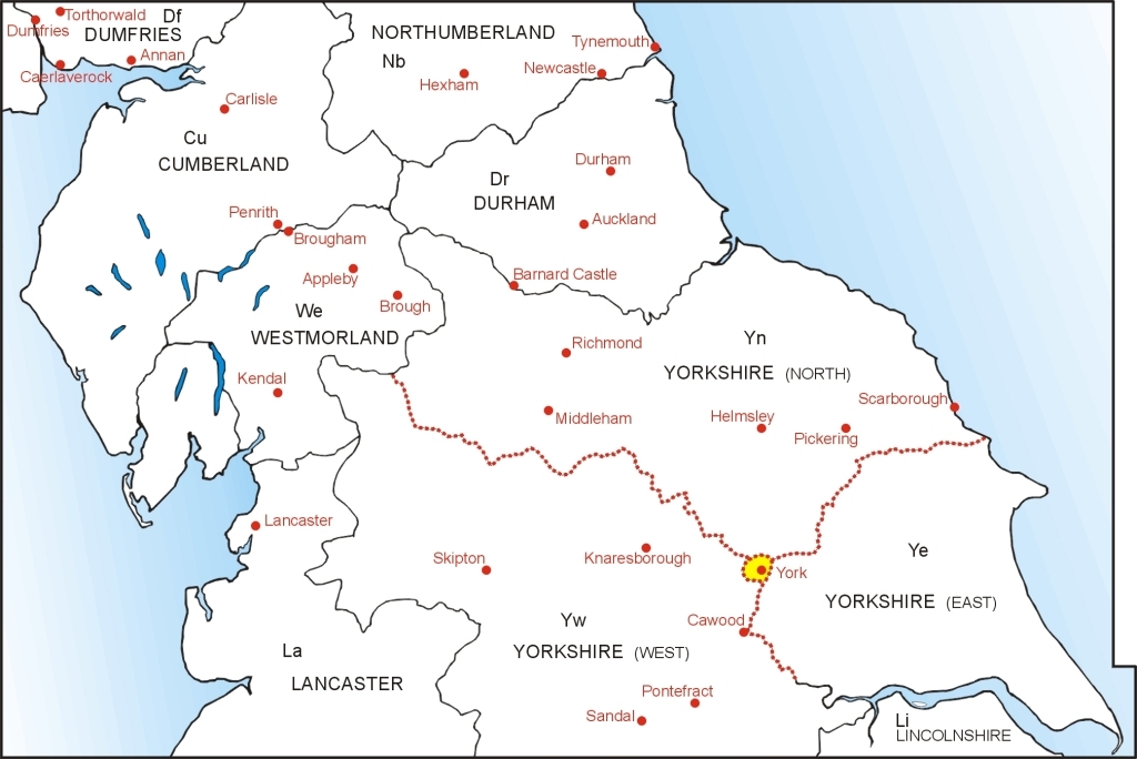
Northern England - counties and major castles
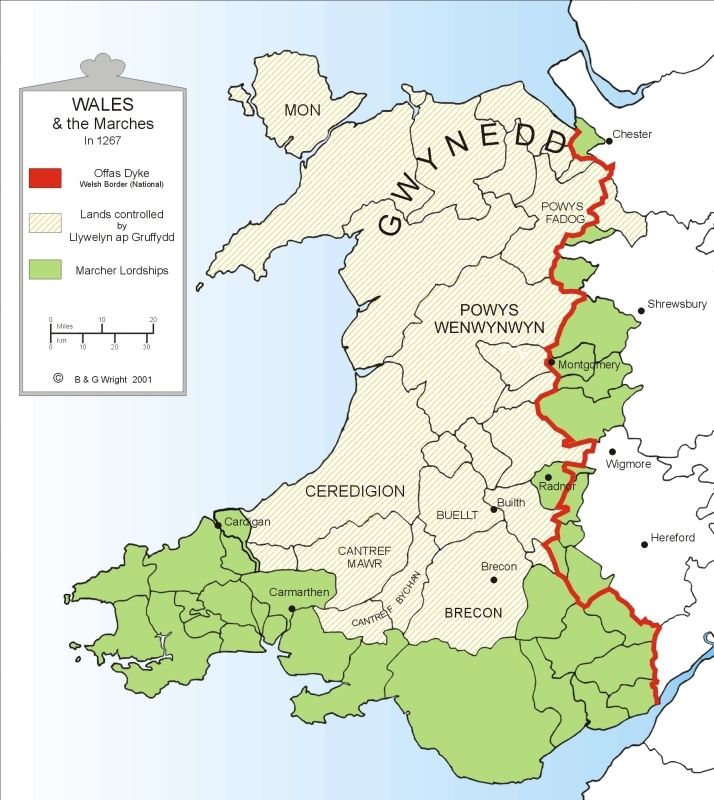
Wales and the Marches, 1267
South-west Wales, 1284-1330

© Copyright 2025 ![]() Flower-Press.co.uk
Flower-Press.co.uk